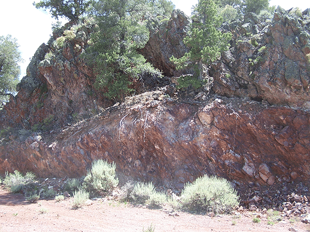
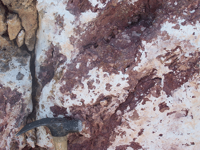
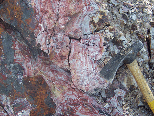
The Black Point property is a 410 hectare property located in Nevada, USA, 8 miles northeast of the town of Eureka. It consists of 49 claims and is located within the world-renowned Battle Mountain-Eureka gold trend of Central Nevada. The property is near many prolific gold deposits including the past producing Ruby Hill Gold Mine (Homestake) which yielded 135,000 ounces of gold annually between 1997 and 2002. Black Point has also been a past producer with records indicating mined grades of silver of between 400g/t to 3700 g/t. (Ag 12-108oz/t) from 1933 to 1941.
Click map on the right for larger view.
Black Point is accessible year round from Eureka by paved county road and then by one mile of good gravel road.
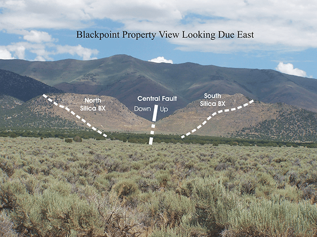
Iron Horse Resources of Vancouver, BC conducted work on the Black Point property during the 1980s. Work consisted of surface mapping, sampling and a few short diamond drill holes drilled along the outer edge of the mineralizing system, which failed to intersect any significant gold values. The cost of this work is unknown. No information is currently available on this work; however indications are that only erratic gold values were encountered in the program which concentrated on the upper part of the mineralizing system on the property.
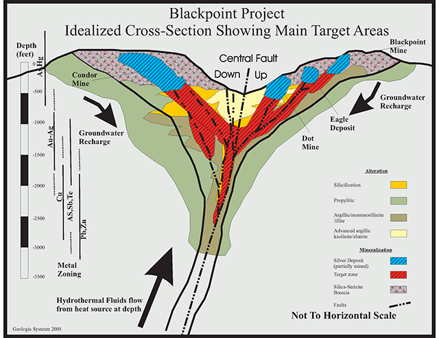
Examination of the area by CuMoCo technical personnel indicates Blackpoint hosts a silica-sericite (or “low-sulfidation”) epithermal gold-silver bearing system with extensive silica-sericite alteration and scattered gold values. Evidence shows that the observed surface exposure is located in the barren cap part of the system above the high grade gold bearing boiling zone. Geology and alteration observed confirm the potential for a Meikle type gold deposit at depth. The Meikle mine (Barrick) was a hidden deposit 420 meters below a weak arsenic anomaly. Meikle had an initial reserve off 6.5 million tonnes grading 21.6 gms Au/tonne.
